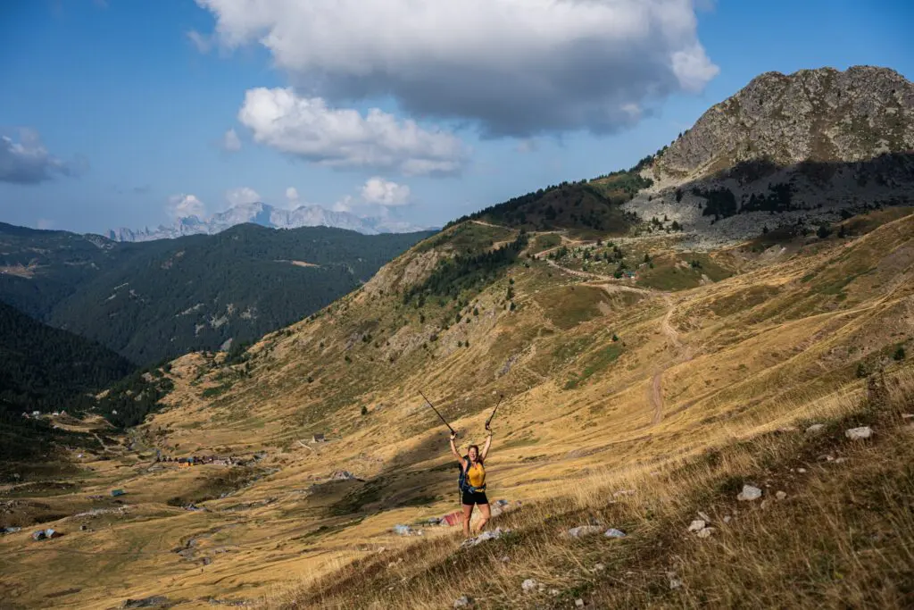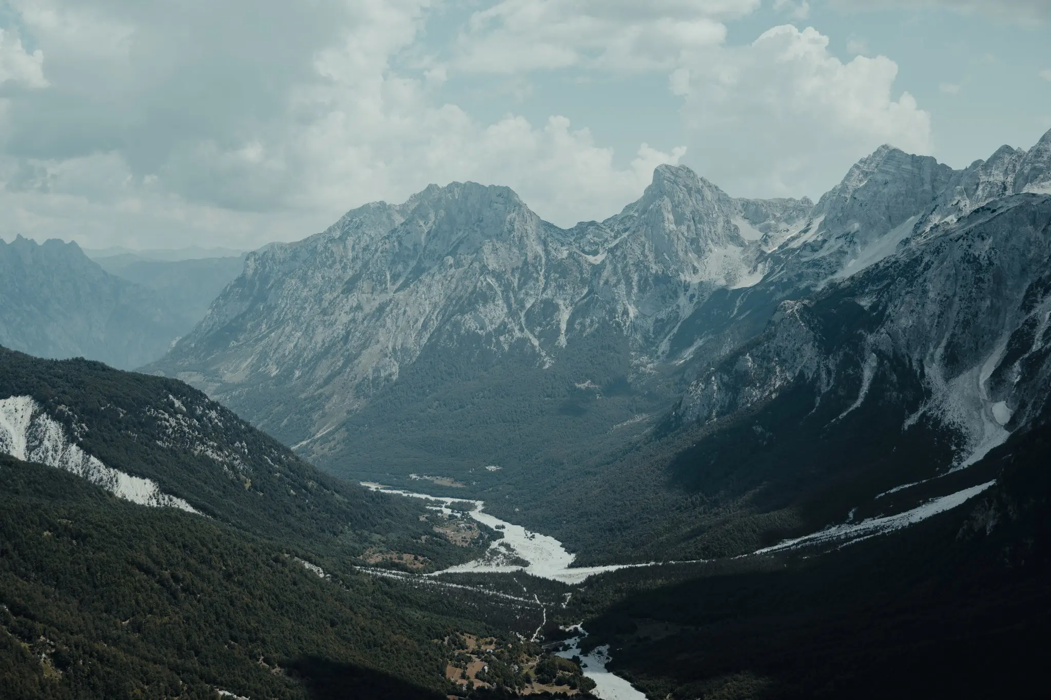
Between Albania, Kosovo and Montenegro, the Peaks of the Balkans cross one of Europe's last truly wild mountain ranges: the Accursed Mountains. Passes above 2,000 metres, shepherd villages, glacial valleys and a warm welcome from local families… In this guide you'll find everything you need to plan this extraordinary hike: the route, the stages, the best season, border permits, accommodation, difficulty and gear.
Covered on this page:
- What is the Peaks of the Balkans?
- The Accursed Mountains: a range of their own
- The classic route in 10 stages
- Highlights along the way
- When to hike the Peaks of the Balkans
- Border crossing permits
- Accommodation and food on the trail
- How fit do you need to be for the Peaks of the Balkans?
- Culture and hospitality in the mountains
- Getting to the trail
- Hiking the Peaks of the Balkans with the Balkan Trail
What is the Peaks of the Balkans?
The Peaks of the Balkans is a circular long-distance trail of around 190 kilometres linking three countries: Albania, Kosovo and Montenegro. It opened in 2012, initiated by local communities and supported by German development cooperation (GIZ). The idea: connect old shepherd and smuggler paths so that mountain villages could make a living from sustainable tourism.
It worked. In 2013 the trail won the World Travel & Tourism Council's Tourism for Tomorrow award, which recognises responsible tourism. Today the Peaks of the Balkans ranks among the most spectacular hikes in Europe, yet it remains far quieter than the big classics in the Alps.
What makes the trail unique: it crosses several borders in the middle of the mountains, far from any official border post. You walk from one country to the next on foot, sometimes on top of a pass, sometimes in the middle of a high pasture.
The Peaks of the Balkans at a glance
- Countries: Albania, Kosovo and Montenegro
- Distance: around 190 km for the full loop
- Duration: 10 to 14 days for the full loop; shorter versions are possible
- Elevation gain: more than 10,000 metres in total
- Stages: 15 to 25 km and 5 to 9 hours of walking a day
- Highest point of the trail: around 2,300 metres
- Season: roughly late June to mid-September
- Waymarking: red and white, patchy in places
The Accursed Mountains: a range of their own
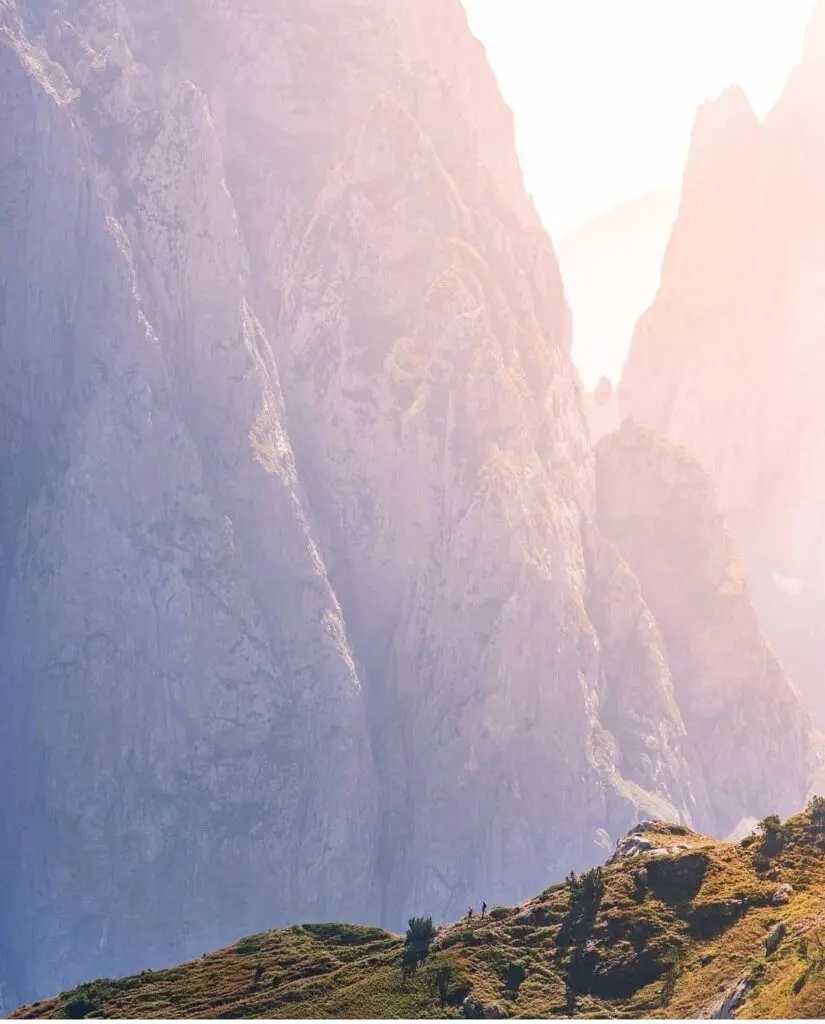
The trail runs through the Prokletije, known in English as the Accursed Mountains or the Albanian Alps (Bjeshkët e Nemuna in Albanian). This limestone massif forms the southern end of the Dinaric Alps. Its highest summit, Maja Jezercë (2,694 m) in Albania, is also the highest peak of the entire Dinaric Alps. Gjeravica (2,656 m), close to the trail, is the highest point in Kosovo.
The landscape never stops changing: jagged limestone walls, deep glacial valleys, beech and pine forests, mountain lakes, flowering meadows and springs of an almost unreal blue. The trail crosses several protected areas, including Theth and Valbona Valley national parks in Albania, Prokletije National Park in Montenegro and Bjeshkët e Nemuna National Park in Kosovo.
Where does the name Accursed Mountains come from? There are plenty of legends. The best known says the mountains were cursed because they were so harsh that life there was almost impossible. One look at their sheer cliffs and you'll understand why.
The classic route in 10 stages
The full loop is usually hiked in ten stages. Many people start in Theth, Albania, but you can begin anywhere and walk in either direction. Here is the classic route, anticlockwise:
- Theth – Valbona (Albania): the famous crossing over the Valbona Pass, at more than 1,800 metres, with grand views over both valleys.
- Valbona – Çerem (Albania): a quieter stage through forests and pastures, via the Prosllopi Pass.
- Çerem – Dobërdol (Albania): a climb to the vast pastures of Dobërdol, where shepherds spend the summer.
- Dobërdol – Milishevc (Kosovo): past the tripoint (Tromeda), where Albania, Kosovo and Montenegro meet.
- Milishevc – Reka e Allagës (Kosovo): open ridges and a long descent into the valley.
- Reka e Allagës – Drelaj (Kosovo): a stage in the Rugova region, known for its spectacular gorges.
- Drelaj – Babino Polje (Montenegro): into Montenegro via the Kuçishtë lakes and Guri i Kuq, the 'red rock'.
- Babino Polje – Plav (Montenegro): a descent to Lake Plav and the town of the same name.
- Plav – Vusanje (Montenegro): one of the toughest stages, through the mountains to the village of Vusanje.
- Vusanje – Theth (Albania): back into Albania over the Peja Pass (Qafa e Pejës) and a long descent to Theth.
Each stage averages 15 to 25 kilometres. The hardest days in terms of climbing are often Theth – Valbona and Plav – Vusanje. The exact route can vary with the weather, accommodation and the variants you choose: many hikers add a summit, such as Gjeravica from Dobërdol, or a detour through the Grbaja Valley in Montenegro.
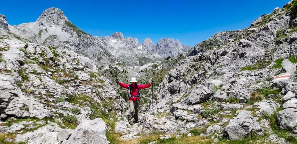
Highlights along the way
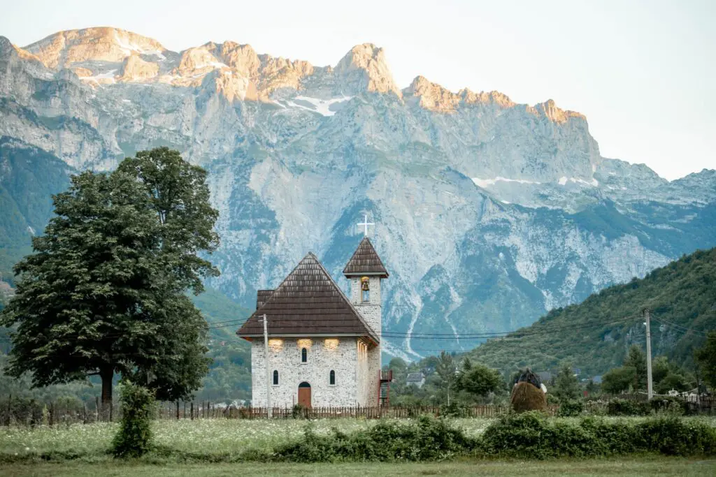
- Theth: this remote village deep in its valley is the best-known starting point. Don't miss the stone church, the lock-in tower (Kulla e Ngujimit), where men took refuge during blood feuds, the Grunas waterfall and the Blue Eye of Theth, a turquoise spring.
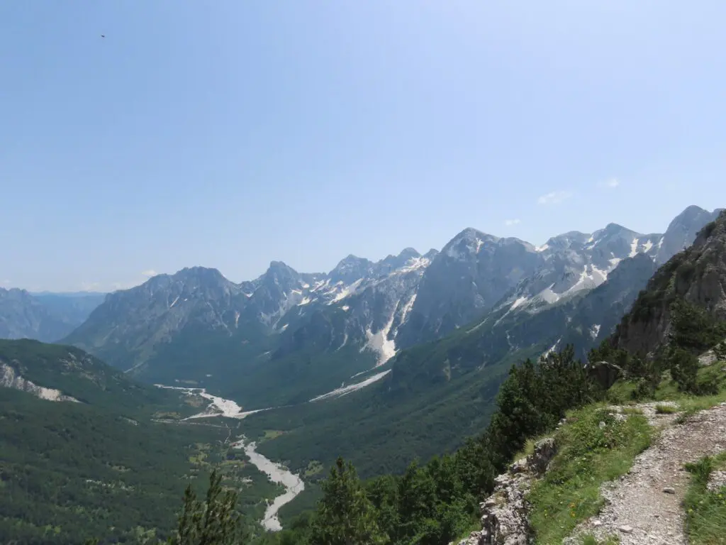
- The Valbona Pass: probably the trail's most famous view, with Theth on one side and the Valbona Valley on the other.
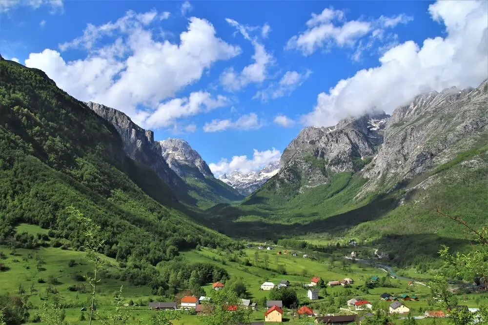
- The Valbona Valley: a wide glacial valley framed by dizzying rock walls, one of Albania's most beautiful national parks.
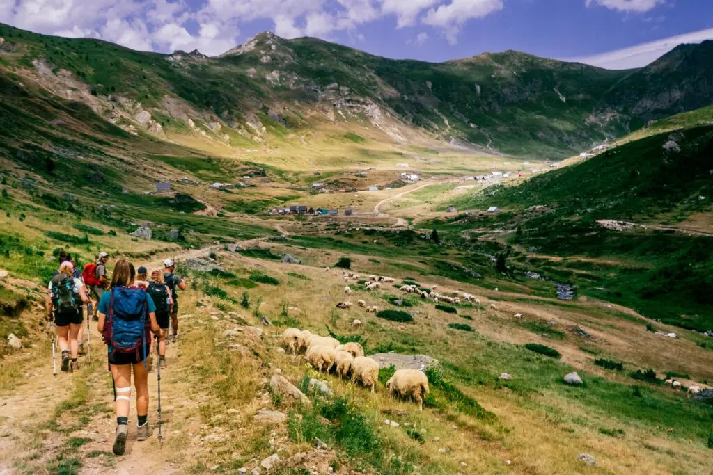
- Dobërdol: a huge high pasture where shepherds live with their flocks in small huts all summer long.
- The tripoint: a symbolic moment, with one foot in Albania, one in Kosovo and one in Montenegro.
- The Rugova region: its ridges, lakes and gorges are among the wildest landscapes in Kosovo.
- Lake Plav: a large mountain lake in Montenegro, perfect for catching your breath.
- Vusanje and the Grbaja Valley: from the Ali Pasha springs to the Grlja waterfall, this corner of Montenegro is full of surprises.
When to hike the Peaks of the Balkans
The best time is from late June to mid-September. Outside this window, the passes may be under snow and many guesthouses are closed.
- June: the meadows are in bloom and the trails still quiet, but early in the month snow can linger on the highest passes.
- July and August: high season. It's hot in the valleys, and afternoon thunderstorms are common in the mountains. Set off early.
- September: pleasant hiking temperatures, beautiful light and fewer people. Nights get chilly at altitude.
Whenever you go, the weather can change very quickly. Even in midsummer, pack warm layers for the mornings and evenings, and a rain jacket.
Border crossing permits
This is the most common practical question. Because the trail crosses borders in the mountains, far from official checkpoints, you need a border crossing permit for every country you walk into. The permit lets the border police record your entry and exit; without one, you risk trouble at a check in the mountains or when you leave the country.
- How many? The full loop involves three border crossings, so three permits.
- How? Permits are issued by each country's border police. You can apply yourself or go through a local agency that handles the paperwork for you.
- When? Apply at least two weeks ahead, and earlier still in July and August.
- What details? Your passport details and the planned date of each border crossing.
- What does it cost? As of 2026, expect a few euros per crossing. Montenegro also charges a small administrative fee. Always check current rates before you travel.
Carry your passport and a copy of your permits throughout the hike. And bring cash: Kosovo and Montenegro use the euro, Albania the lek, and card payment is almost impossible in the mountains.
Accommodation and food on the trail
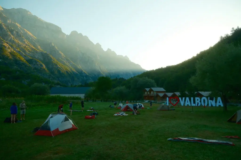
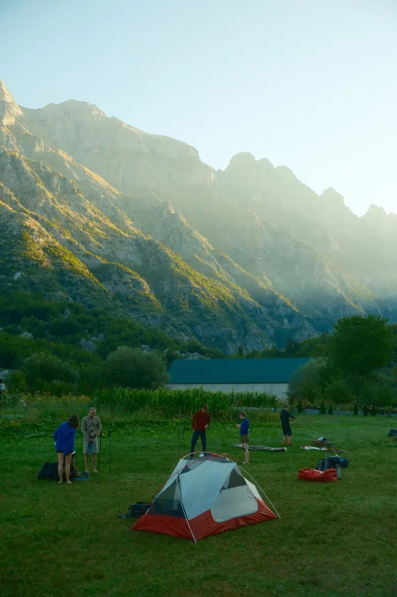
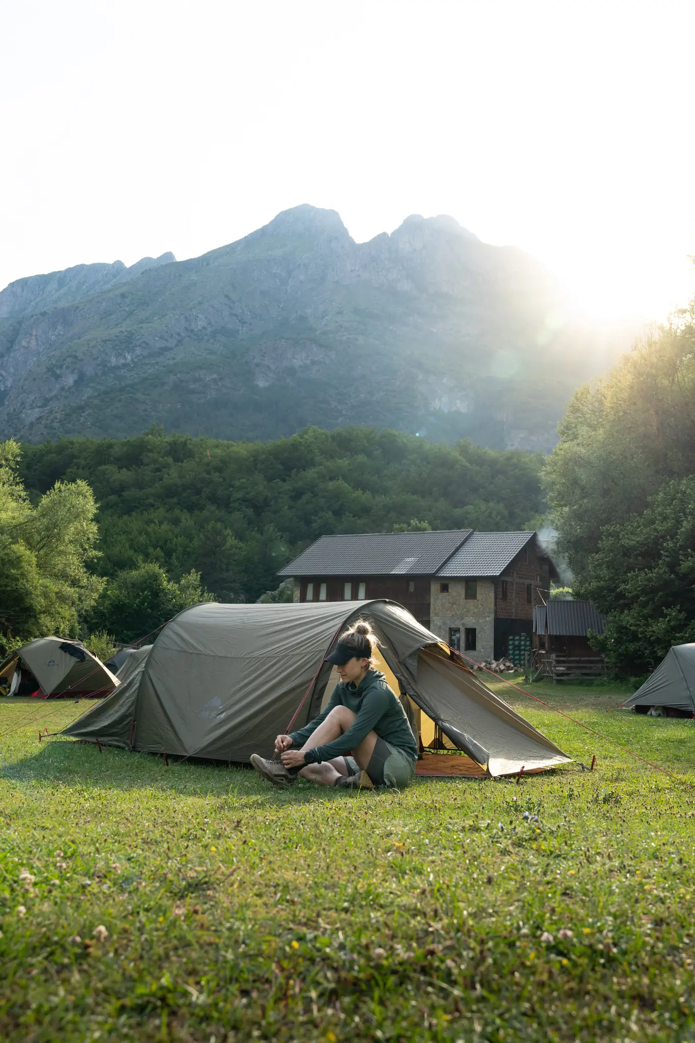
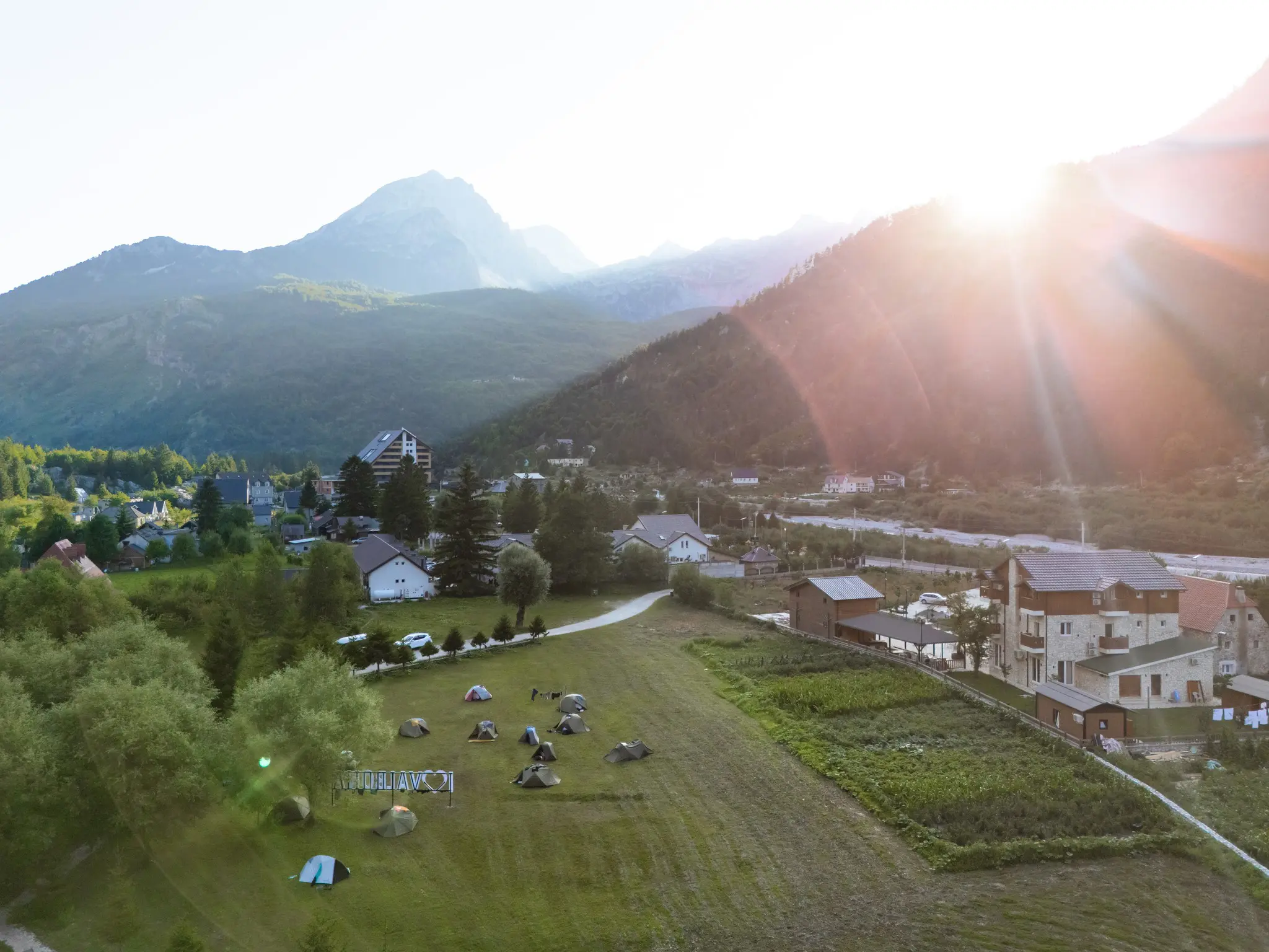
One of the great joys of the Peaks of the Balkans is its family-run guesthouses. In almost every village along the way, families host hikers for the night, in simple rooms or on their camping ground. Comfort is often basic, but the welcome is always warm.
The food is simple, hearty and made with produce from the farm: fresh cheese, yoghurt, honey, vegetables from the garden, home-baked bread, grilled meat and, of course, byrek (filled pastry). Don't be too quick to turn down the glass of raki you're offered on arrival: it's a genuine gesture of hospitality.
In high season, book your accommodation ahead, as beds are limited in the small villages. On some stages there are only one or two options.
How fit do you need to be for the Peaks of the Balkans?
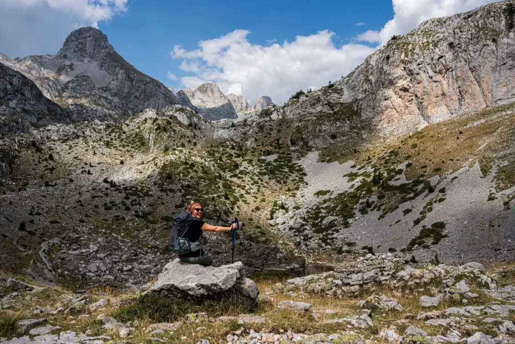
No climbing skills are needed, but this is a real mountain hike. The climbs and descents are long, the paths often rocky and uneven, and some sections over scree need care. Waymarking can be sparse, so an offline map or GPS track on your phone is strongly recommended.
To really enjoy it, you should be able to walk 5 to 9 hours a day, several days in a row, carrying a backpack. A few tips to prepare:
- Start training two to three months before you leave, with increasingly long hikes.
- Add elevation: hills, stairs and descents strengthen your legs and knees.
- Train in the boots and with the backpack you'll be taking.
- Plan at least one hiking weekend with two long days back to back.
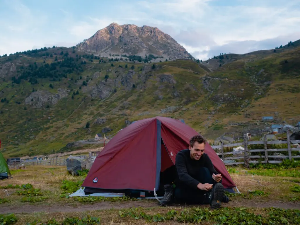
What to pack
- Broken-in, ankle-high hiking boots
- Trekking poles, invaluable on long descents
- Rain jacket and warm layers for the evening
- Sunscreen, hat and sunglasses
- Water bottle or bladder, plus a filter if you like
- First-aid kit and blister plasters
- Offline map or GPS track, and a power bank
- Passport, border permits and cash
Culture and hospitality in the mountains
The mountains of northern Albania long lived by the Kanun, a customary law passed down orally for centuries. It governed community life, from property to blood feuds. One of its strongest principles is hospitality: by tradition, the house belongs to God and to the guest. You'll still feel that welcome at every stage today.
In summer, many families move up to the high pastures with their flocks. You'll meet shepherds, sheep and packhorses, and perhaps an invitation for coffee or a taste of fresh cheese. A few words of Albanian, such as faleminderit (thank you) and mirëdita (hello), always go down well.
Finally, respect nature and the people who live here: take your rubbish with you, stay on the paths, ask before photographing anyone and dress respectfully in the villages.
Getting to the trail
Most hikers fly into Tirana airport in Albania; Podgorica airport in Montenegro is an alternative. From Tirana you reach Theth via Shkodër, then along a mountain road that winds deep into the valley.
For Valbona there's a spectacular alternative: the ferry across Lake Komani, a trip between sheer cliffs often compared to a fjord. It combines easily with the Theth – Valbona hike.
Public transport in the mountains is scarce and seasonal, so arrange your transfers in advance, especially the journey to Theth and back to the airport.
Hiking the Peaks of the Balkans with the Balkan Trail
Want to discover the Peaks of the Balkans without worrying about the logistics? The Balkan Trail is a guided loop hike from Theth: five days of walking on the finest sections of the trail, from Theth to Valbona, then on to Dobërdol, the tripoint, Plav and Vusanje, before returning to Theth over the Peja Pass. In total, around 75 kilometres and 4,250 metres of elevation gain.
You sleep in a tent on the grounds of family-run guesthouses and hike with guides, including at least one English speaker and a local guide. Border permits, national park entry fees and van transfers during the trek are included. Questions about the level, gear or luggage transport? Check our FAQ.